Stroly maps allow you to switch between illustrated maps and standard maps.
Illustrated Map View:
You can see the illustrated map you’ve uploaded.
In the illustrated map view, you can walk around the local area while enjoying the design of the map. Also, you will find information about the local area and spots displayed only on the illustrated map view allowing you to enjoy the area more.
Standard Map View:
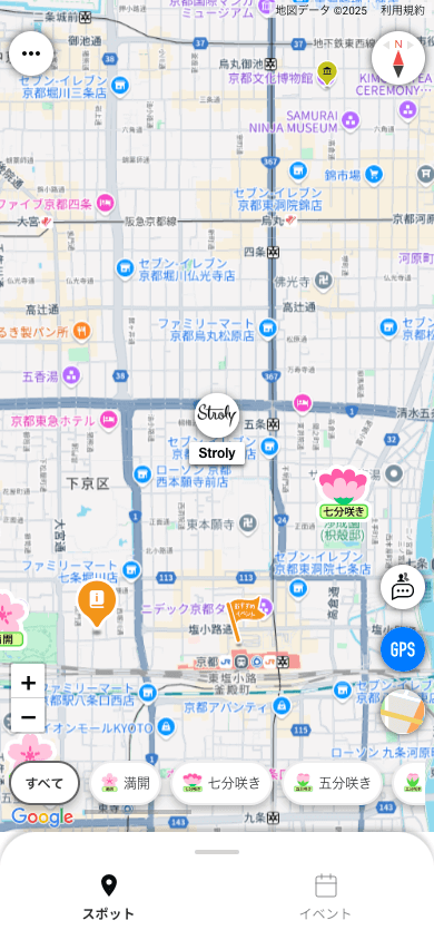
You can use Google Maps, OpenStreetMap, and Satellite Map to view the map.
In the standard map view, you can switch the view between Google Maps, OpenStreetMap, and Satellite Map.
You can use Google Maps if you are used to the Basic or Premium features.
You can use the standard map view when walking outside the area of the illustrated map or when looking up detailed local information.
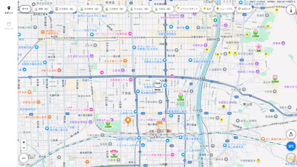
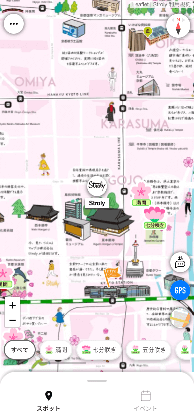
・Illustrated map and Google Maps showing the same location.
Illustrated map

Google Maps