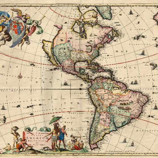
North and South America (1670)
This image (or other media file) is in the public domain because its copyright has expired.This applies to Australia, the European Union and those countries with a copyright term of life of the author plus 70 years.
Posted by:
Stroly
update date: 2024.01.19
このマップ(地図)を見るNumber of spots : 7spots
-
【the WH】The Rideau Canal USA(1670)landmarkl
Photo: Rideau Canal in Ottawa(Used as a winter ice skating rink) Type:culturalInscription:2007Country:Canada
-
-
【the WH】Canadian Rocky Mountain Parks USA(1670)landmarkl
Photo: Lake Louise Type:naturalInscription:1984,1990Country:CanadaPlace:Lake Louise
-
-
【the WH】Rock Paintings of the Sierra de San Francisco USA(1670)landmarkl
Photo: Rock Paintings of the Sierra de San Francisco Type:culturalInscription:1993Country:Mexico
-
-
【the WH】Colonial City of Santo Domingo USA(1670)landmarkl
Photo: Santodomingo cathedral Type:culturalInscription:1990Country:República Dominicana
-
-
【the WH】Iguacu National Park USA(1670)landmarkl
Photo: Iguazu Falls Type:naturalInscription:1984,1986Country:Argentina,BrazilPlace:Puerto Iguazu
-
-
【the WH】Grand Canyon National Park USA(1670)landmarkl
Photo: Grand Canyon National Park Type:naturalInscription:1979Country:United States(America)
-
-
【the WH】Historic Sanctuary of Machu Picchu USA(1670)landmarkl
Photo: Historic Sanctuary of Machu Picchu Type:mixedInscription:1983Country:Peru
-


