Sightseeing map of Los Angeles County (1944)
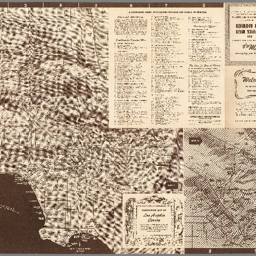
6 maps on 1 sheet, 55x85, both sides., folded into self wrapped cover 14x11, with space for postage and address. Map I & II: Sightseeing map, Los Angeles City and County. (on verso) Map II-VI: Santa Monica Bay Area, San Gabriel Valley Area, Long Beach Area, Los Angeles and Hollywood points of interest. folded into self wrapped With descriptive and sightseeing indexes. Includes public transportation information, Griffith Park points of interest and Exposition Park panels. Selected points of interest shown pictorially. Relief shown by shading and spot heights.
All spots information
0 spots