Indianapolis (1969)
Two maps on one sheet, back to back, color, folded to 22 x 10 cm. Includes index, text and advertisements. With view of Indiana National Bank tower on folded cover. Publications date (early 1967) is based on the text on verso.
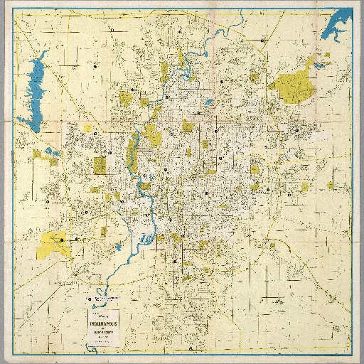
Mapco Map of Indianapolis and Marion County, Indiana. Copyright - Map Corporation of America. Boston, Massachusetts 02118. (on verso map of ) Central Business district, and (panel title) Map of Indianapolis and Environs, a public service of the Indiana National Bank of Indianapolis.
Posted by:
ko-yoshida
update date: 2019.04.10
このマップ(地図)を見るNumber of spots : 3spots
-
Indiana War Memorial Museum

Web Page
-
Indianapolis International Airport

-
Untitled landmark