Kyoto City Area Map (1906)
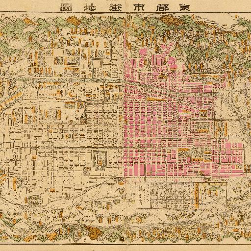
A map of Kyoto and its surroundings in 1906.It includes the route of the then municipal railway network.
All spots information
0 spots
A map of Kyoto and its surroundings in 1906.It includes the route of the then municipal railway network.
0 spots