ヨーロッパ南北逆転 (1501)
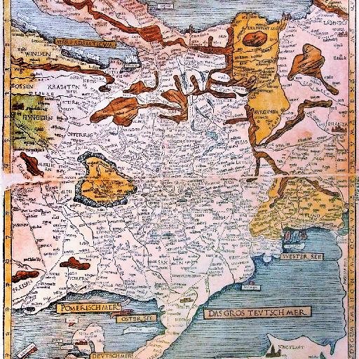
This is Erhard Etzlaub's second printed European roadmap from 1501, the so-called Landstrassen map. It is very similar to Etzlaub's earlier Romweg map, which was the first ever printed european roadmap.<br> Photo by User:Neitram taken in 2008 in the Mercateum in Königsbrunn, Germany.<br> (<a href="http://commons.wikimedia.org/wiki/File:Etzlaub_Romwegkarte_5.jpg">ウィキメディアコモンズ該当ソース</a>より)
すべてのスポット情報
10件のスポット