North & Central America (1892)
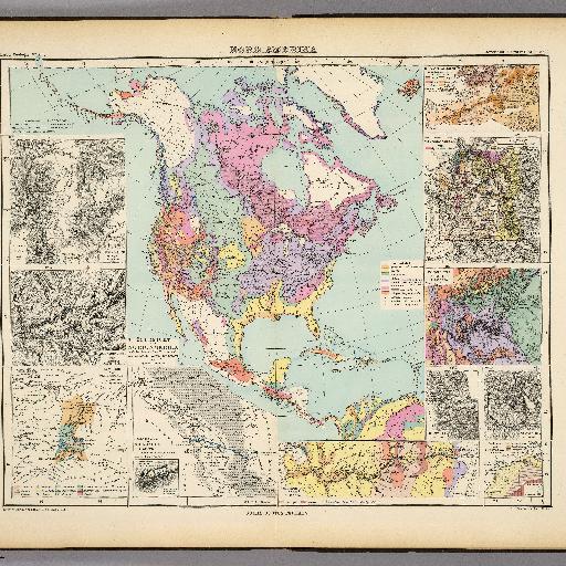
Lithographed geologic map, color with 12 inset maps. Relief shown by spot heights. Some inset maps are topographic maps showing relief by hachures and spot heights.
All spots information
0 spots
Lithographed geologic map, color with 12 inset maps. Relief shown by spot heights. Some inset maps are topographic maps showing relief by hachures and spot heights.
0 spots