ロンドン近郊 (1922)
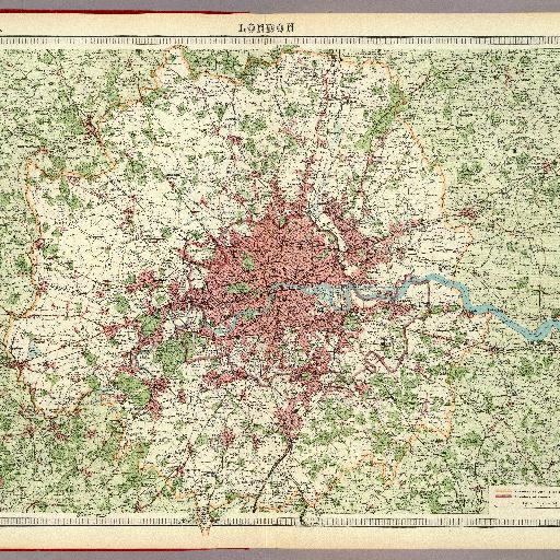
Col. map. Relief shown by contours and spot heights. Shows wooded areas, boundaries of City Police District and County of London, etc.
すべてのスポット情報
0件のスポット
Col. map. Relief shown by contours and spot heights. Shows wooded areas, boundaries of City Police District and County of London, etc.
0件のスポット