ビジネス利用
お問い合わせ
ログイン
登録
Top
>
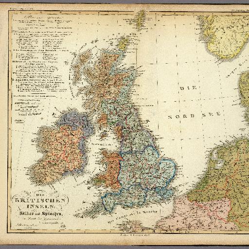
United Kingdom (1847)
United Kingdom (1847)
A full color map of the British Isles displaying ethnography and languages.
Posted by
Stroly
更新日:
2024/01/18
このマップ(地図)を見る
すべてのスポット情報
0件のスポット