Dublin (1883)
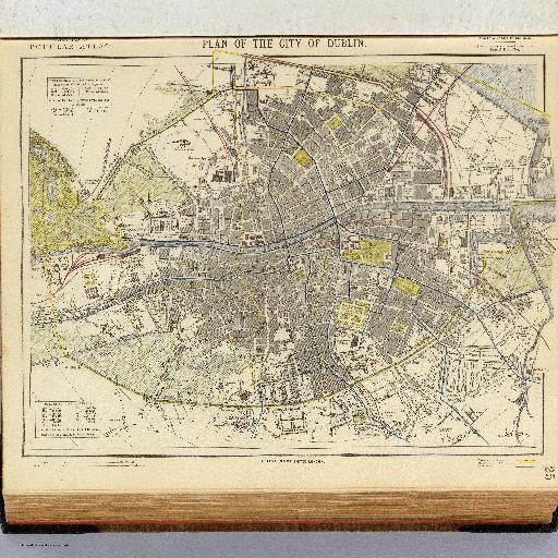
<html> <body>Colored map. Shows streets, buildings, parks, municipal and parliamentary boundaries, tram routes, etc. Includes 2 statistical tables. </body> </html>
All spots information
0 spots
<html> <body>Colored map. Shows streets, buildings, parks, municipal and parliamentary boundaries, tram routes, etc. Includes 2 statistical tables. </body> </html>
0 spots