フランクフルト (1845)
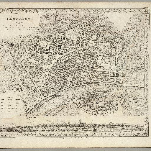
<html> <body>Engraved map. Includes view of Frankfurt from Sachshausen. Legend in German, English and French. A revision of the 1837 map published by the Society for the Diffusion of Useful Knowledge, London. "Meyers Handatlas No. </body> </html>
すべてのスポット情報
0件のスポット