Cuba (1853)
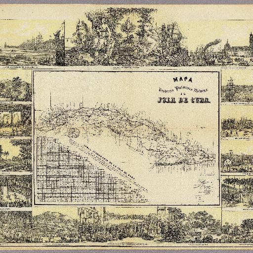
<html> <body>Lithographic color map with an inset table of distances from principle cities with their longitude and latitude noted. Views of cities, ports, and events such as cock fighting and the aftereffects of an 1846 hurricane surround the map. Date estimated. </body> </html>