Southeast Europe (1829)
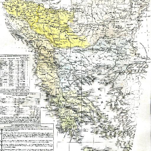
<html> <body>Origin of the map: HISTORISCH-GENEALOGISCH-GEOGRAPHISCHER ATLAS von Le Sage Graf Las Cases. Karlsruhe. Bei Creuzbauer und Nöldeke 1829.</body> </html>
All spots information
0 spots
<html> <body>Origin of the map: HISTORISCH-GENEALOGISCH-GEOGRAPHISCHER ATLAS von Le Sage Graf Las Cases. Karlsruhe. Bei Creuzbauer und Nöldeke 1829.</body> </html>
0 spots