ビジネス利用
お問い合わせ
ログイン
登録
Top
>
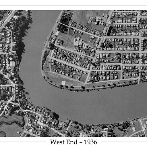
1936 West End - Aerial Photo
1936 West End - Aerial Photo
1936 Aerial Photo of the Brisbane River showing West End, Toowong and St Lucia.
Posted by
Suburb Maps
更新日:
2020/06/29
このマップ(地図)を見る
すべてのスポット情報
0件のスポット