For Business
Contact Us
Log in
Sign up
Top
>
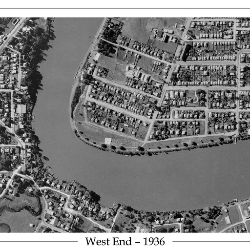
1936 West End - Aerial Photo
1936 West End - Aerial Photo
1936 Aerial Photo of the Brisbane River showing West End, Toowong and St Lucia.
Posted by
Suburb Maps
Updated:
2020/06/29
View this map
All spots information
0 spots