サンフランシスコ (1927)
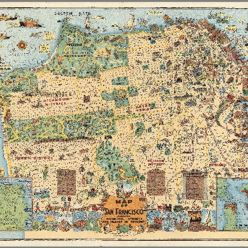
Godwin's map is perhaps the largest and most profusely illustrated of all pictorial maps of San Francisco, with comic characters depicting different aspects of the city, a cowboy getting bucked off a horse, a couple dancing an exaggerated Charleston, dozens of whimsical vignettes with explanation text, illustrating both the modern city of San Francisco and its early history, including 1906 San Francisco's Earthquake and Fire. The streets, parks, local churches, schools, and government buildings are drawn to show the visitor. Noted: "The City That Knows How" and "The Ideal Convention City." Includes San Francisco: population, industry, products and postal services, and lists of banks and theaters.
すべてのスポット情報
1件のスポット
 無題のカテゴリー
Japanese Tea Garden
![]() 無題のカテゴリー
無題のカテゴリー
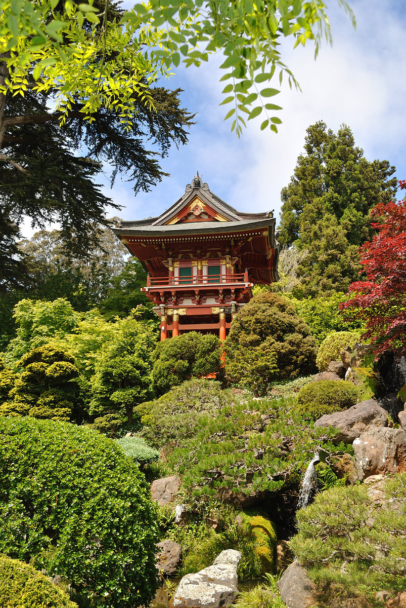
Popular gardens with a Japanese teahouse & narrow paths winding past koi ponds, pagodas & a bridge.