Buenos Aires Wayfinding Map 2
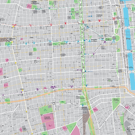
Design of new maps for Ecobici automatic stations, the public bike-sharing system in the city of Buenos Aires. Two kind of maps were developed: a closer one with detailed information within 5 minutes on foot, and another one with a neighbourhood vision within 5 minutes on bicycle. Part of the Legible City project, developed with Estudio Garibaldi for the City of Buenos Aires Secretary of Transport, with the advice of Instituto Ciudad en Movimiento.
All spots information
7 spots
 Unnamed Category

Estación Constitución
![]() Unnamed Category
Unnamed Category

https://en.wikipedia.org/wiki/Constituci%C3%B3n_railway_station
Palacio del Congreso Nacional
![]() Unnamed Category
Unnamed Category

https://en.wikipedia.org/wiki/Palace_of_the_Argentine_National_Congress