スウェーデン&ノルウェー (1853)
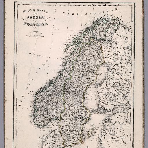
Outline hand colored map of Scandinavia and part of Finland and Denmark. Shows political and administrative divisions, major cities, towns, roads, mountains and rivers. Relief shown by hachures.
すべてのスポット情報
0件のスポット
Outline hand colored map of Scandinavia and part of Finland and Denmark. Shows political and administrative divisions, major cities, towns, roads, mountains and rivers. Relief shown by hachures.
0件のスポット