ラスベガス パノラマ地図 (1989)
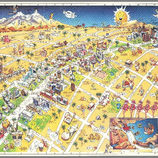
Pictorial map of Las Vegas, on sheet 46x61, folded to 23x10.5. Panel title. Shows streets, railroads, landmarks, places of interest and recreational activities of various areas, shopping, sport facilities, museums, etc. Includes pictorial cover, text and index to points of interest on verso.
すべてのスポット情報
0件のスポット