South of Japan (1967)
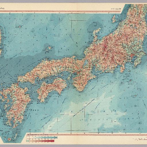
This is the English edition of the Polish Atlas Swiata. This massive atlas (weighing nearly 5.5 kilograms and containing 48 square meters of maps) is of high cartographic and aesthetic quality, and provides a rich assortment of thematic (over 400) as well as hundreds of physical and political maps. Includes pictures of the flag and a synopsis for each country. Liberal yet tasteful and effective use of tinted colors, especially for topography and bathymetry. Rich use of symbolism creatively conveys the data in a clear manner. Many maps of urban areas. Printed on beige paper. Printed in Warsaw, Poland. Book No. 08 001958 7. Post and screw binding coupled with frequent use of fold-out maps eliminates any problem with the gutter.
All spots information
0 spots