米軍地図:枚方町西部、高槻市南部 (1946)
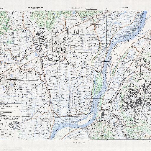
アメリカ軍が終戦直後に制作した枚方町西部(現枚方市西部)と高槻市南部の地図。<br> 元画像:http://legacy.lib.utexas.edu/maps/ams/japan_city_plans/txu-oclc-6565454.jpg
すべてのスポット情報
0件のスポット
アメリカ軍が終戦直後に制作した枚方町西部(現枚方市西部)と高槻市南部の地図。<br> 元画像:http://legacy.lib.utexas.edu/maps/ams/japan_city_plans/txu-oclc-6565454.jpg
0件のスポット